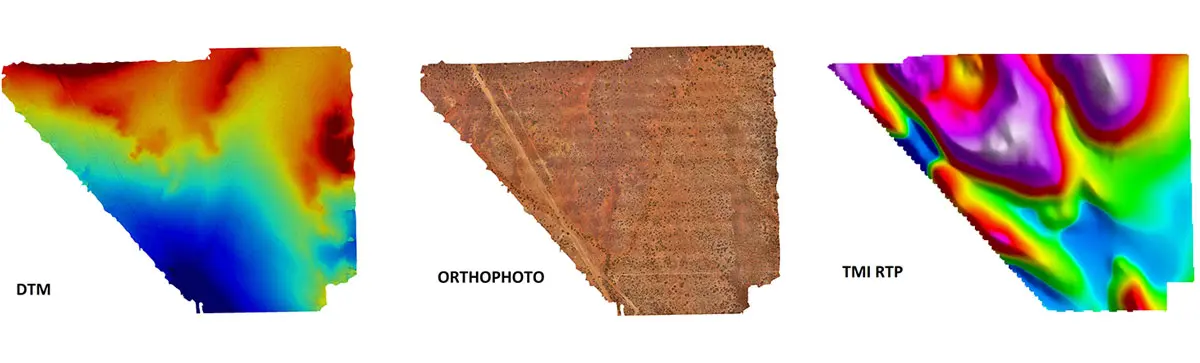
High‑resolution 3D imagery Accurate terrain insight you can trust
Low-Altitude 3D Imagery
Flying photogrammetry surveys at low altitude delivers exceptionally high‑resolution imagery and accurate elevation data, enabling detailed surface modelling and precise spatial analysis.
Large Area Drone Photogrammetry
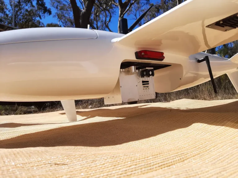
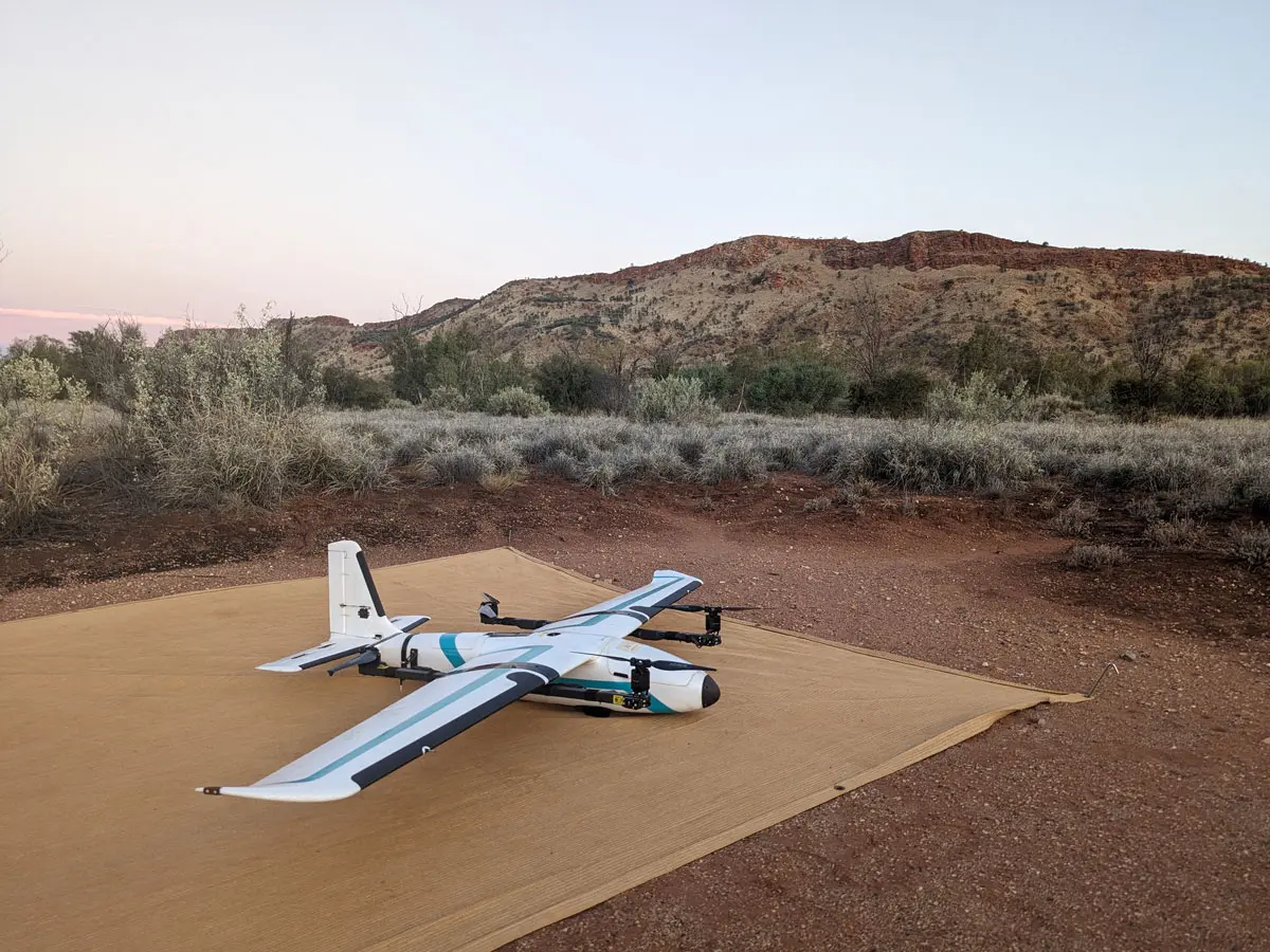
Shift Geophysics combines high‑resolution typically achieved by multirotor drones with the large‑area coverage and cost efficiency of a fixed‑wing drone platform, providing the best balance of detail, speed, and value.
Fast Acquisition: 20 km² a Day
With 20 km² acquired per day at an imagery resolution of 2.6 cm ground sample distance, our surveys deliver the clarity and turnaround time your project demands.