High‑resolution radiometric data Revealing geological insight with confidence
High-Resolution Gamma-Ray Data
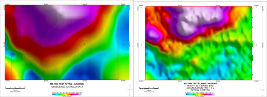
Drone radiometric surveys, flown at very low altitude, deliver significantly higher‑resolution gamma‑ray data than conventional manned airborne surveys. This enables the detection of narrow, discontinuous, or weakly exposed geology.
Uranium, REE & Lithium Detection
For explorers targeting uranium, rare earth elements, lithium, or requiring high‑resolution structural and alteration mapping over outcropping terrain, drone radiometrics provides a level of detail not achievable by any other survey method.
Large High Signal to
Noise Spectrometers
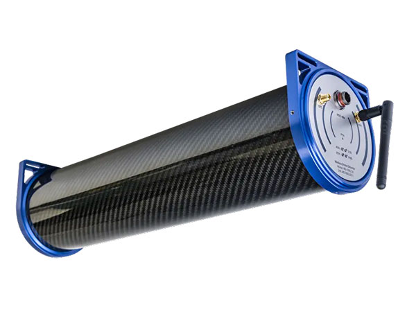
Shift Geophysics operates both 1‑litre and 2‑litre gamma‑ray spectrometers, several times larger than competitors, allowing Shift to optimise signal‑to‑noise performance to meet your project objectives, terrain conditions, and exploration stage.